


Hawaii Surf Reports/Forecasts
Brought to you by Maui Weather Today
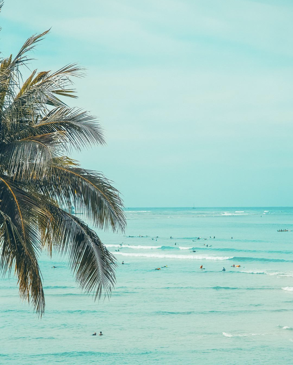
Hawaii Surf Report/Forecast
May 12-13, 2024
Forecast: Surf along south facing shores remains elevated, but will slowly decline, and then hold into early in the upcoming week, as a long-lived, small south swell continues to affect the islands. Although the swell size itself will remain largely unchanged through Sunday night, the period will gradually shorten, allowing surf heights to slowly trend down. Another series of overlapping, long-period south swells will begin moving in on Tuesday, with reinforcements giving another noticeable boost to south shore surf from Wednesday through the rest of the week. A small, short-period north-northwest swell will decline. A reinforcing small, long-period northwest swell will build Sunday night, giving north shore surf a boost early in the new week. Surf along east facing shores will be well below normal levels through the middle of the week.
Maui Beaches |
|
| Hana: 1+ (measured in feet) | |
| Hookipa: 2+ | |
| Kanaha: 2 | |
| Kihei/Wailea: 1-2 | |
| Maalaea Bay: 2+ | |
| Lahaina: 2-3 | |
| Upper West: 1-2 | |
Oahu Beaches |
|
| North Shore: 2-3 | |
| West Shore: 2-3 | |
| South Shores: 2-3 | |
| East Shores: 1+ | |
Big Island |
|
| North Shore: 2 | |
| West Shore: 2 | |
| South Shores: 2-3 | |
| East Shores: 1+ | |
Kauai |
|
| North Shore: 2-3 | |
| West Shore: 2-3 | |
| South Shore: 2+ | |
| East Shore: 1 | |
>>> The actual wave face sizes are about twice the numbers noted above
Buoys surrounding the islands Island swell shadow lines for Kauai
Island swell shadow lines for Oahu
Island swell shadow lines for Maui
Island swell shadow lines for Big Island
NOAA Wave Model – animated
Oceanweather wave model
Stormsurf swell model – the Pacific
Stormsurf wave model – local Hawaiian Islands
Tides for Hawaii